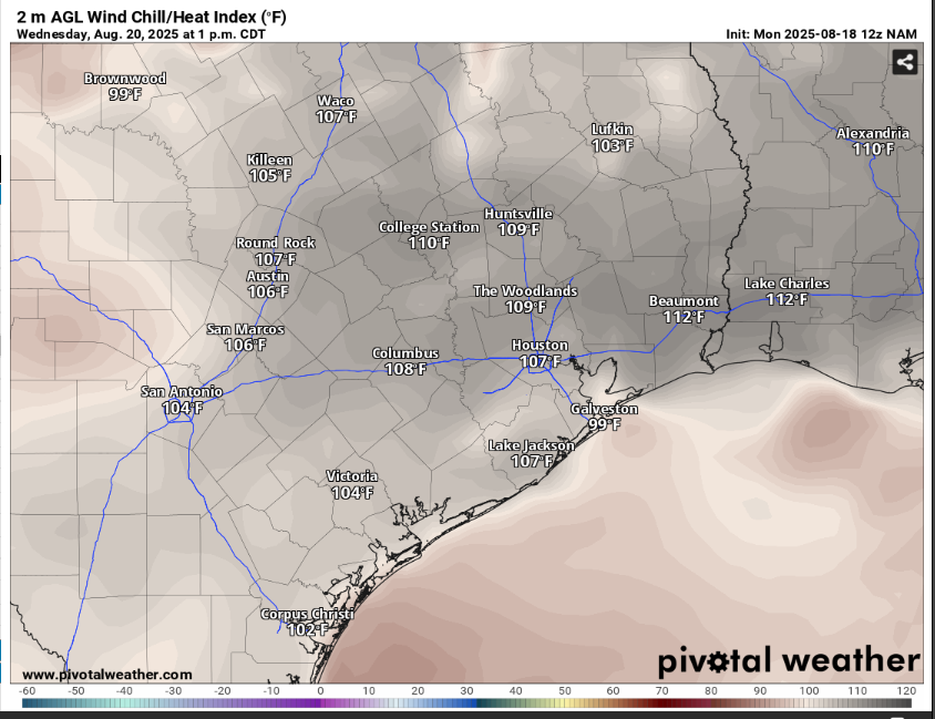
Austin’s summer is about to get even weirder this week as daily rain chances roll through the third week of August. We are trading our typical scorching heat and crunchy grass for more clouds than sun, pockets of heavy rainfall and cooler temperatures than normal coming later in the week.
A ridge of high atmospheric pressure and drier weather helped send our temperatures to the century mark over the weekend. Now, the ridge will gradually move west and center itself over the Four Corners region in the desert Southwest. This will open the door for atmospheric moisture to stream in via an easterly to southeasterly flow from the Gulf of Mexico.
The good news is that this extra moisture will interact with several atmospheric disturbances rotating clockwise around the high’s outer edge, moving south into the Lone Star State. This will generate rounds of showers and thunderstorms throughout the week.
“Moisture levels around 150% of August averages remain through next weekend,” the regional weather service office for Austin wrote in its Monday forecast discussion. “With high precipitable water levels making for efficient rainfall processes, and a potential for slow-moving or training rain cells, locally heavy rains are possible.”
A weak cold front is expected to drop south into Texas on Thursday, this would function as a focal point for the development of showers and thunderstorms. While the weather service’s Storm Prediction Center has placed Texas under only a general thunderstorm threat, that doesn’t mean we couldn’t see a few storms producing gusty winds as strong as 40 mph, lightning and locally heavy rainfall. With multiple days of rain, minor flooding also could become a concern as soil becomes oversaturated.
Based on the past 25 years of climate data, August is Austin’s third-driest month, behind December and February. We average 2.34 inches of rain, and we’ve picked up only about half-inch so far this month, so we’ve got room for more.
The latest data from the U.S. Drought Monitor shows an increase in moderate drought, the drought monitor’s lowest category of dryness, across Travis County since the first week of August. While not a major shift, it underscores how isolated this month’s rainfall has been. With more showers in the forecast, soils should be ready to absorb this week’s rainfall. The forecast calls for an inch to 2 inches of rain through the weekend, with isolated rainfall totals potentially a bit higher.


